Choose Which Site You Want To See


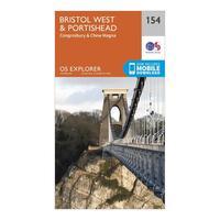
Ordnance Survey Explorer 154 Bristol West & Portishead Map With Digital Version, Orange: The essential map for outdoor activities in Bristol West and Portishead. The OS Explorer Map is the Ordnance Survey\'s...
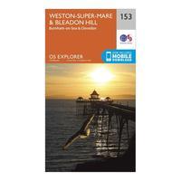
Ordnance Survey Explorer 153 Weston-super-mare & Bleadon Hill Map With Digital Version, Orange: The essential map for outdoor activities in Weston-Super-Mare and Bleadon Hill. The OS Explorer Map is the Ordnance...
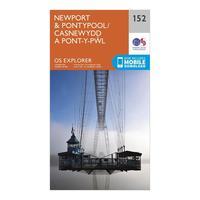
Ordnance Survey Explorer 152 Newport & Pontypool Map With Digital Version, Orange: The essential map for outdoor activities in Newport and Pontypool. The OS Explorer Map is the Ordnance Survey\'s most...
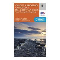
Ordnance Survey Explorer 151 Cardiff & Bridgend Map With Digital Version, Orange: The essential map for outdoor activities in Cardiff and Bridgend. The OS Explorer Map is the Ordnance Survey\'s most...
Ordnance Survey Explorer 150 Canterbury & Isle Of Thanet Map With Digital Version, Orange: The essential map for outdoor activities in Canterbury and Isle of Thanet. The OS Explorer Map is the Ordnance...
Ordnance Survey Explorer 149 Sittingbourne & Faversham Map With Digital Version, Orange: The essential map for outdoor activities in Sittingbourne and Faversham. The OS Explorer Map is the Ordnance Survey\'s...
Ordnance Survey Explorer 191 Banbury, Bicester & Chipping Norton Map With Digital Version, Orange: The essential map for outdoor activities in Banbury, Bicester and Chipping Norton. The OS Explorer Map is the Ordnance...
Ordnance Survey Explorer 190 Malvern Hills & Bredon Hill Map With Digital Version, Orange: The essential map for outdoor activities in Malvern Hills and Bredon Hill. The OS Explorer Map is the Ordnance...
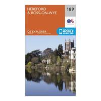
Ordnance Survey Explorer 189 Hereford & Ross-on-wye Map With Digital Version, Orange: The essential map for outdoor activities in Hereford and Ross-on-Wye. The OS Explorer Map is the Ordnance Survey\'s...
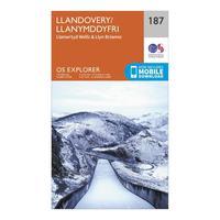
Ordnance Survey Explorer 187 Llandovery, Llanwrtyd Wells & Lyn Brianne Map With Digital Version, Orange: The essential map for outdoor activities in Llandovery, Llanwrtyd Wells and Lyn Brianne. The OS Explorer Map is the...
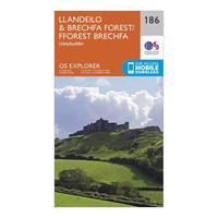
Ordnance Survey Explorer 186 Llandeilo & Brechfa Forest Map With Digital Version, Orange: The essential map for outdoor activities in Llandeilo and Brechfa Forest. The OS Explorer Map is the Ordnance Survey\'s...
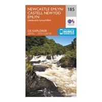
Ordnance Survey Explorer 185 Newcastle Emlyn, Llandysul & Cynwyl Elfed Map With Digital Version, Orange: The essential map for outdoor activities in Newcastle Emlyn, Llandysul and Cynwyl Elfed. The OS Explorer Map is the...

Ordnance Survey Explorer 181 Chiltern Hills North Map With Digital Version, Orange: The essential map for outdoor activities in Chiltern Hills North. The OS Explorer Map is the Ordnance Survey\'s most...
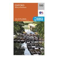
Ordnance Survey Explorer 180 Oxford, Witney & Woodstock Map With Digital Version, Orange: The essential map for outdoor activities in Oxford, Witney and Woodstock. The OS Explorer Map is the Ordnance Survey\'s...
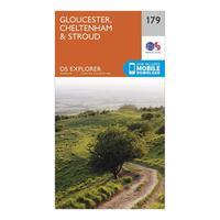
Ordnance Survey Explorer 179 Gloucester, Cheltenham & Stroud Map With Digital Version, Orange: The essential map for outdoor activities in Gloucester, Cheltenham and Stroud. The OS Explorer Map is the Ordnance...
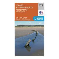
Ordnance Survey Explorer 178 Llanelli & Ammanford Map With Digital Version, Orange: The essential map for outdoor activities in Llanelli and Ammanford. The OS Explorer Map is the Ordnance Survey\'s most...
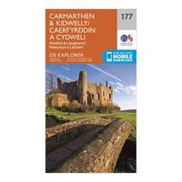
Ordnance Survey Explorer 177 Carmarthen & Kidwelly Map With Digital Version, Orange: The essential map for outdoor activities in Carmarthen and Kidwelly. The OS Explorer Map is the Ordnance Survey\'s most...
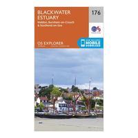
Ordnance Survey Explorer 176 Blackwater Estuary Map With Digital Version, Orange: The essential map for outdoor activities in Blackwater Estuary. The OS Explorer Map is the Ordnance Survey\'s most...
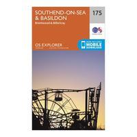
Ordnance Survey Explorer 175 Southend-on-sea & Basildon Map With Digital Version, Orange: The essential map for outdoor activities in Southend-on-Sea and Basildon. The OS Explorer Map is the Ordnance Survey\'s...
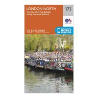
Ordnance Survey Explorer 173 London North Map With Digital Version, Orange: The essential map for outdoor activities in London North. The OS Explorer Map is the Ordnance Survey\'s most detailed...
