Choose Which Site You Want To See


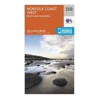
Ordnance Survey Explorer 250 Norfolk Coast West Map With Digital Version, Orange: The essential map for outdoor activities in Norfolk Coast West. The OS Explorer Map is the Ordnance Survey\'s most...
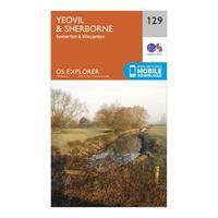
Ordnance Survey Explorer 129 Yeovil & Sherborne Map With Digital Version, Orange: The essential map for outdoor activities in Yeovil and Sherborne. The OS Explorer Map is the Ordnance Survey\'s most...
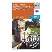
Ordnance Survey Explorer Active 236 King\'s Lynn, Downham Market & Swaffham Map With Digital Version, Orange: The essential map for outdoor activities in all weathers in King\'s Lynn, Downham Market and Swaffham. The OS Explorer...
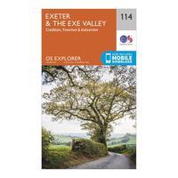
Ordnance Survey Explorer 114 Exeter & The Exe Valley Map With Digital Version, Orange: The essential map for outdoor activities in Exeter and The Exe Valley. The OS Explorer Map is the Ordnance Survey\'s...
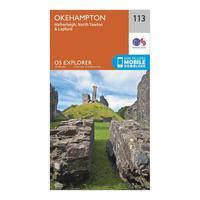
Ordnance Survey Explorer 113 Okehampton Map With Digital Version, Orange: The essential map for outdoor activities in Okehampton. The OS Explorer Map is the Ordnance Survey\'s most detailed...
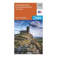
Ordnance Survey Explorer 112 Launceston & Holsworthy Map With Digital Version, Orange: The essential map for outdoor activities in Launceston and Holsworthy. The OS Explorer Map is the Ordnance Survey\'s...
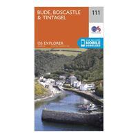
Ordnance Survey Explorer 111 Bude, Boscastle & Tintagel Map With Digital Version, Orange: The essential map for outdoor activities in Bude, Boscastle and Tintagel. The OS Explorer Map is the Ordnance Survey\'s...
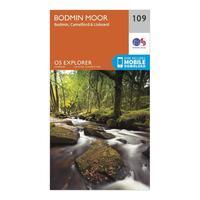
Ordnance Survey Explorer 109 Bodmin Moor Map With Digital Version, Orange: The essential map for outdoor activities in Bodmin Moor. The OS Explorer Map is the Ordnance Survey\'s most detailed...
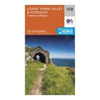
Ordnance Survey Explorer 108 Lower Tamar Valley & Plymouth Map With Digital Version, Orange: The essential map for outdoor activities in Lower Tamar Valley and Plymouth. The OS Explorer Map is the Ordnance...
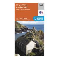
Ordnance Survey Explorer 107 St Austell & Liskeard Map With Digital Version, Orange: The essential map for outdoor activities in St Austell and Liskeard. The OS Explorer Map is the Ordnance Survey\'s most...
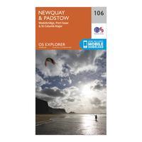
Ordnance Survey Explorer 106 Newquay & Padstow Map With Digital Version, Orange: The essential map for outdoor activities in Newquay and Padstow. The OS Explorer Map is the Ordnance Survey\'s most...
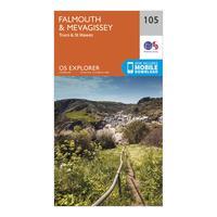
Ordnance Survey Explorer 105 Falmouth & Mevagissey Map With Digital Version, Orange: The essential map for outdoor activities in Falmouth and Mevagissey. The OS Explorer Map is the Ordnance Survey\'s most...
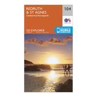
Ordnance Survey Explorer 104 Redruth & St Agnes Map With Digital Version, Orange: The essential map for outdoor activities in Redruth and St Agnes. The OS Explorer Map is the Ordnance Survey\'s most...
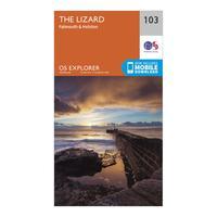
Ordnance Survey Explorer 103 The Lizard Map With Digital Version, Orange: The essential map for outdoor activities in The Lizard. The OS Explorer Map is the Ordnance Survey\'s most detailed...
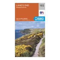
Ordnance Survey Explorer 102 Land\'s End Map With Digital Version, Orange: The essential map for outdoor activities in Land\'s End. The OS Explorer Map is the Ordnance Survey\'s most detailed...
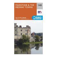
Ordnance Survey Explorer 148 Maidstone & The Medway Towns Map With Digital Version, Orange: The essential map for outdoor activities in Maidstone and The Medway Towns. The OS Explorer Map is the Ordnance...
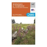
Ordnance Survey Explorer 147 Sevenoaks & Tonbridge Map With Digital Version, Orange: The essential map for outdoor activities in Sevenoaks and Tonbridge. The OS Explorer Map is the Ordnance Survey\'s most...
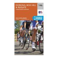
Ordnance Survey Explorer 146 Dorking, Box Hill & Reigate Map With Digital Version, Orange: The essential map for outdoor activities in Dorking, Box Hill and Reigate. The OS Explorer Map is the Ordnance...
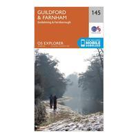
Ordnance Survey Explorer 145 Guildford & Farnham Map With Digital Version, Orange: The essential map for outdoor activities in Guildford and Farnham. The OS Explorer Map is the Ordnance Survey\'s most...
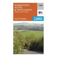
Ordnance Survey Explorer 144 Basingstoke, Alton & Whitchurch Map With Digital Version, Orange: The essential map for outdoor activities in Basingstoke, Alton and Whitchurch. The OS Explorer Map is the Ordnance...
